I found a trek led by Andrey Teterkin (6 men and 2 women) in March 1992 that had Mt Otorten in their route but they did not reach it. Naturally I wanted to know the circumstances. Their documentation answered most of the questions I had about the route, how do you climb Mt Otorten in winter, which way do you take, where do you camp, how do you make the labaz, do all the hikers climb the peak etc. I have translated only the part of their travel notes from March 15 to March 18. This is the loop where they fail to climb Mt Otorten.
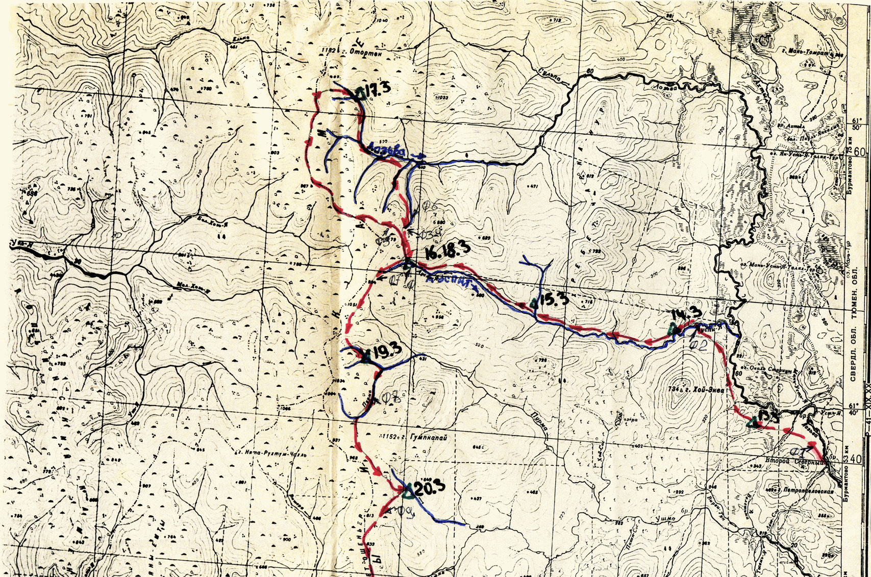 Full map
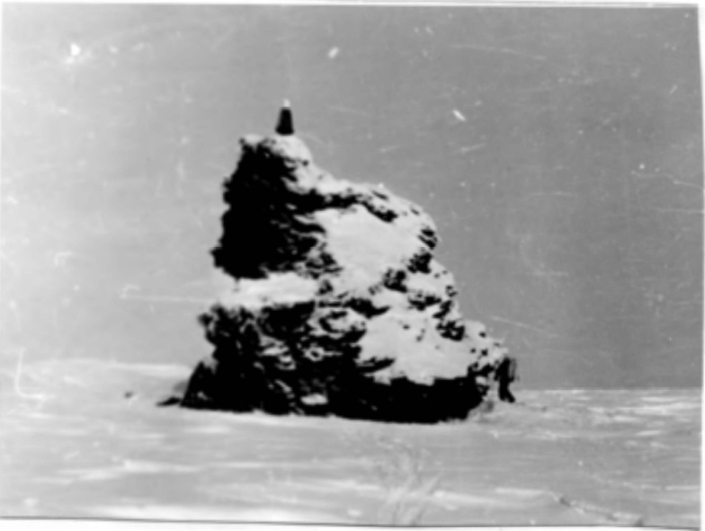
3. The outlier rock on Dyatlov Pass
"In the morning of March 15 we continue to move along the river, or rather it is no longer a river, but many streams, the area is swampy. The trail no longer exists; it went northwest to the Dyatlov Pass. Having walked 10 km after the tributary, we stop for an overnight and prepare firewood, taking into account two nights, because tomorrow we will go to Mt Otorten and return perhaps at night. We sort out the food, hang some of it on a stick between the trees, and pack food for four days, which we take with us on the radial hike. In the morning the weather was good, light frost, clear sky, no wind. We get on our skis and start climbing up the slope.
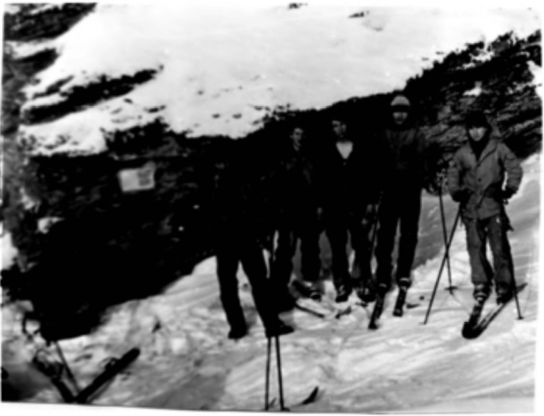
4. The group at the Dyatlov Pass
After two hours we reached the edge of the forest. From there we could clearly see the ridge and the outlier at the Dyatlov Pass. (Photo 4) Having climbed to the pass, we took photos, had a snack and decided to walk along the ridge to Mt Otorten. The snow is dense. First we walk along the eastern slope of the mountain from height 1079 heading north-northwest, gaining a little height. (Photo 5) Next, when the entire Mt Otorten becomes visible, we walk along the ridge to the north. The sky is starting to get darker, visibility is getting worse, and we don’t have time to go to Otorten today. We decided to go down into the forest zone, as close as possible to the slope of Otorten. At 17 o'clock we pitched the tent for the night on the Lozva river.
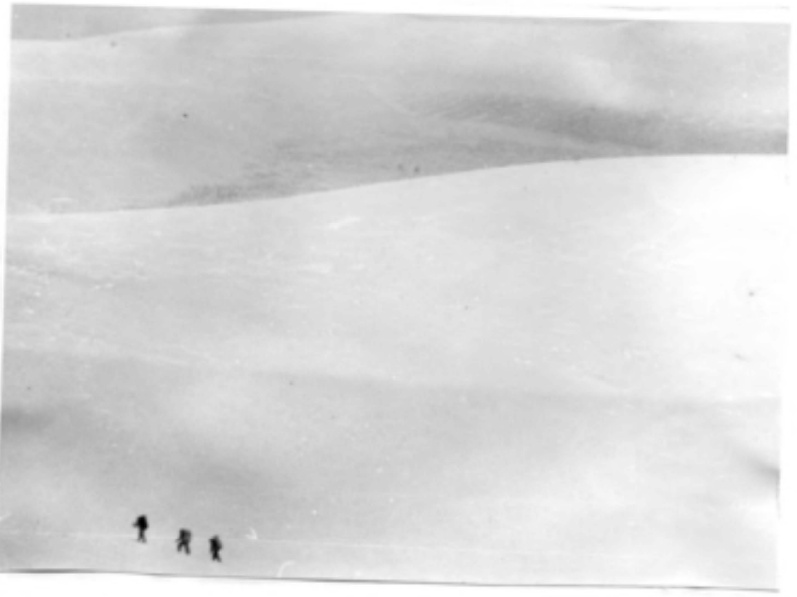
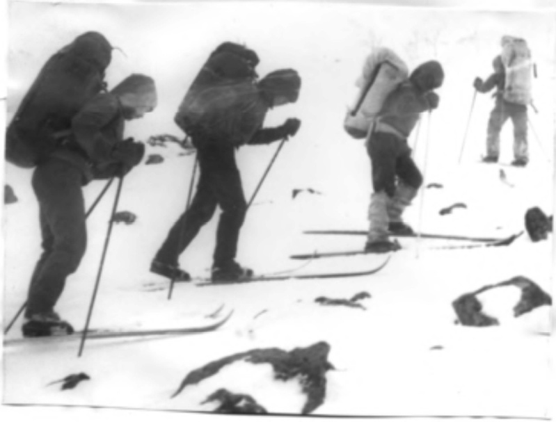
5. We move along the slope towards Otorten
In the morning we were upset: it was snowing heavily. We are in no hurry to go out, hoping that the snow will stop. But it doesn't. Mt Otorten is not visible at all, although yesterday we saw it at dusk with the wind. At 11 o'clock we get on our skis and walk along the right bank of the Lozva river. The river is almost imperceptible, you can rather see its bed, the river is under the snow.
6. Ascent from the Lozva valley to the Dyatlov Pass
After a sharp turn of the river to the east, we begin to climb the slope to the border of the forest, heading south. After two hours we reach the border of the forest, but we do not try to rise higher, visibility is 300-400 m and we are not yet in the valley of the stream that goes to the Dyatlov Pass, so after passing another slope, we begin the ascent to the pass. (Photo 6) Soon we saw the outlier on the pass. Further the path is known - down to the Auspiya river, the ski track was snowed over, we had to look closely not to miss it. An hour later we went down to our camp. Everything was in place there."
All notes and photos from the trek →
Sevural_teterkin_92_2689.pdfSource:
Library of reports on sports treks Topic: Teterkin group attempting Otorten in March 1992 (Read 1763 times)